
As-Built Redlining: Why the Built Network Stops Matching the Design, and How to Control the Drift
The network in the field and the network on the drawing start drifting apart the moment construction begins. Here's how to control that drift instead of discovering it years later.
Pathworks Engineering Team
Every outside plant operator eventually encounters some version of the same problem: the GIS record says a splice closure sits at a specific location along a specific easement, and a truck roll six months later finds it forty feet away, on the other side of a driveway it was originally supposed to avoid, spliced to a different fiber count than the design called for. This is rarely a documentation failure that happened after the fact, in the sense of someone simply forgetting to update a drawing. It is the predictable, almost inevitable result of field conditions that were never fed back into the design record through a controlled, accountable process.
This article examines where as-built drift actually originates, why it compounds rather than staying static once it enters a network's system of record, and what a redlining process has to include to actually prevent the erosion of trust in a GIS database that we see constantly in inherited networks.
Where Drift Actually Originates
Field conditions the original design could not have anticipated. Underground obstructions discovered only once boring begins, unmarked or incorrectly marked utilities encountered mid-construction, and property owner pushback on an easement location that looked clean on a desktop design all force real-time routing decisions to be made in the field, often by a crew foreman under schedule pressure. A crew that reroutes a bore around an unexpected obstruction is very often making the correct engineering call given the information available to them in that moment. The failure mode is not the field decision itself: it is when that decision never makes its way back into a formal, structured redline that the design team can process.
Redlines that exist only on paper in a site trailer. A construction crew's hand-marked print is a genuine, valuable record of what actually happened in the field. But if that print is never digitized against the original design source file in CAD or GIS, it has an effective lifespan of exactly as long as that specific piece of paper survives weather exposure, handling, and the eventual demobilization of the site trailer it was stored in. We have inherited enough legacy networks to say with confidence that the failure point is almost never the field decision itself: it is overwhelmingly the gap between a correct field decision and a design system of record that never learns about it.
Splice matrix drift during construction. As-built fiber counts and splice matrices frequently diverge from the original design during the actual splicing work: a technician makes a locally sensible call to swap a working pair when a designed pair tests bad, or to use a different tray port than specified because the designed port is physically obstructed in that particular closure. Unless that specific splice change gets documented against the design's fiber map with the same rigor as the original design, every future technician troubleshooting that closure during a fault isolation event is working from a record that actively misleads them about what they will find when they open the closure.
GIS attribute decay, distinct from geometry decay. Even in cases where geometric drift (the physical location of an asset) does get corrected in the GIS record, attribute data frequently does not get carried forward with the same rigor. Cable type, fiber count, splice tray port assignments, and closure model number are all attributes that matter enormously to a future engineer planning an augmentation or troubleshooting a fault, but attribute correction is far less visually obvious than a point moving on a map, and it is correspondingly easy to deprioritize during a rushed as-built reconciliation.
Why This Compounds Instead of Staying Static
An inaccurate as-built record does not simply create one bad service call and then stop mattering. It becomes the authoritative reference document for every subsequent project that touches that section of plant: a new subscriber drop connection, a capacity augmentation to add fiber count along an existing route, a fault isolation effort during a service-affecting outage. Every one of those future projects inherits whatever error already exists in the record, and without a quality control process built specifically to catch inherited errors rather than simply trusting the existing GIS data, those future projects frequently add a new error on top of the old one rather than correcting it.
This is the mechanism by which a GIS record that was, say, ninety-five percent accurate at the moment of initial construction erodes to something field engineers stop trusting entirely within a handful of years. Once that trust erosion happens, crews default to field-verifying everything before relying on the record for any critical decision: which defeats much of the operational purpose of maintaining a GIS system of record in the first place, since the entire point of the system is to reduce the amount of field verification required for routine work.
There is also a compounding financial dimension to this problem that operators frequently underestimate. Each field-verification trip required because the GIS record cannot be trusted is a cost that a controlled redlining process would have eliminated at a fraction of the price, paid once during construction closeout rather than repeatedly across the life of the asset every time a technician needs to interact with that section of plant.
What a Controlled Redlining Process Actually Requires
Redlines treated as a required construction deliverable, not an optional courtesy. This means payment milestones or formal project closeout are structurally tied to redline submission from the construction contractor, not just to physical completion of the build. A contractor who knows that final payment is contingent on submitting complete, legible redlines behaves very differently than one who understands redlining as a favor they can deprioritize when the crew is behind schedule.
Reconciliation against the design source file, not just the GIS export. Redlines need to be reconciled by someone who understands the original design intent well enough to evaluate downstream impact from a field change: for example, does moving a splice closure's location affect the splice loss budget that was calculated for that specific path during design? A mechanical process that simply copies a moved point into the GIS record, without evaluating what that move implies for the engineering calculations that depended on the original location, produces a record that is geometrically correct but has silently invalidated the design assumptions underlying it.
A defined chain of custody for field data. Photos of hand-drawn sketches, a splicing technician's handwritten notes, and a foreman's marked-up print are all legitimate sources of field truth, but they need a defined path from the field to the design record (who collects them, who reconciles them against the design file, and who signs off that the reconciliation is complete) rather than an informal expectation that "someone will update the map eventually."
Have a project like this to scope?
A sketch, a photo, or a rough spreadsheet is enough to start.
Start a ProjectPeriodic sampling audits rather than one-time trust. Even a well-run redlining process benefits from periodic field audits that sample a subset of recently closed-out projects and verify the as-built record against physical field conditions. This catches process breakdowns before they accumulate across dozens of projects, rather than discovering the process has quietly failed only after a major fault isolation event goes wrong because the record was unreliable.
Where This Connects to Our Own Work
This is close to the daily reality behind our outsourced CAD drafting service line: the majority of drafting requests we receive from telecom and ISP clients are not brand-new greenfield designs. They are as-built reconciliation work: a photo of a field redline, a marked-up construction print, or a splicing technician's handwritten notes, turned into a corrected design file that a client's GIS system can actually ingest cleanly, with attribute data carried forward correctly and not just the geometry.
We treat this work with the same rigor as new design, specifically because we understand that a sloppy as-built reconciliation does not just fail to fix the existing error: it actively degrades trust in the record for every future engineer who touches that section of plant. Our approach cross-checks reconciled splice matrices against the original design's loss budget calculations, flagging any field change that would push a path outside the margin the original design assumed, rather than simply updating the geometry and calling the reconciliation complete.
Conclusion
As-built drift is not a documentation problem in the narrow sense: it is a process problem with documentation as its symptom. Every one of the drift mechanisms described above traces back to a moment where a legitimate field decision was made correctly but never made the transition from field knowledge into an accountable design record. Fixing this requires treating redlining as a structural part of project closeout with real accountability attached, not an administrative afterthought that gets attention only after an inaccurate record has already caused a costly field failure.
References
- TIA-598: Optical Fiber Cable Color Coding
- NENA GIS Data Model Standards
- Related reading: Fiber Splice Loss Budgets: How Much Signal Are You Really Losing?
- Related reading: Outsourced CAD Drafting for Telecom: What to Send Us to Get an Accurate Quote
- Pathworks services: FTTx & Telecom Networks
Related articles
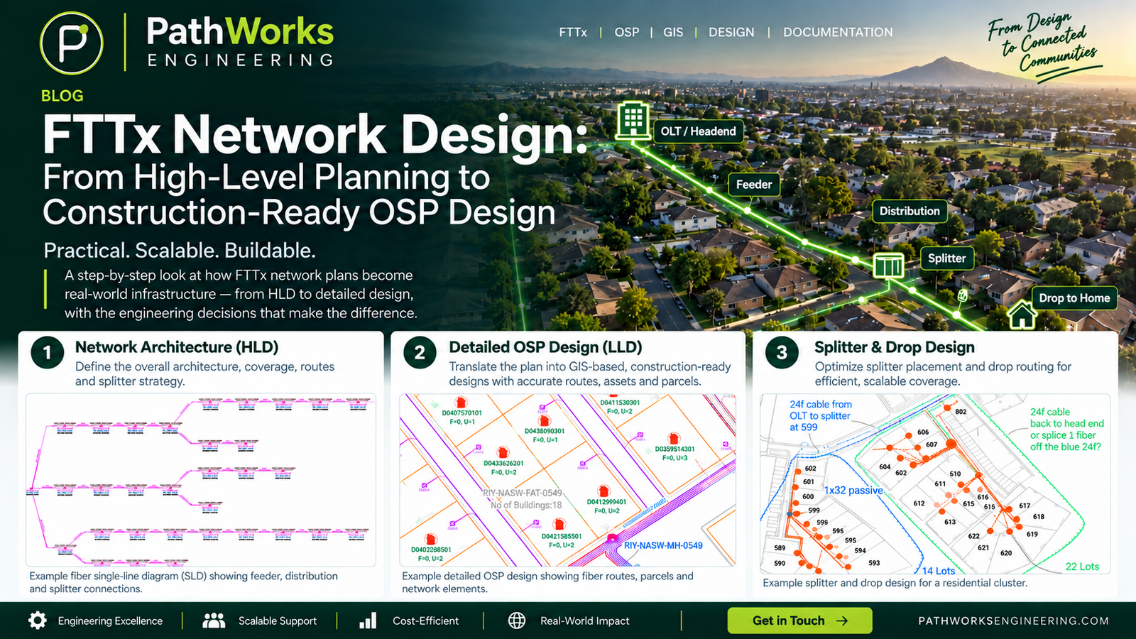

FTTx Network Design: From HLD to Construction-Ready OSP Engineering
A practical guide to FTTx network design, covering HLD, LLD, splitter planning, fiber topology, BOQ development, QA/QC and construction-ready OSP documentation.

GPON Power Budgets: Sizing Split Ratios Against Real Receiver Sensitivity, Not the Datasheet Ceiling
Sizing a split ratio off the datasheet ceiling looks fine on paper and fails in the field. Here's how to budget against real receiver sensitivity instead.
OSP Route Selection: The Real Cost Model Behind Underground vs. Aerial
A per-foot cost comparison hides most of what actually determines whether an aerial or underground route finishes on schedule and on budget. Here's the data that belongs in the decision instead.